AI Computer Vision · Spatial Intelligence
Turn any camera into spatial intelligence.
Detection, depth, 3D reconstruction and cross-camera identity. Self-hosted and offline-capable.
Detection · Depth · 3D · Identity · Analytics
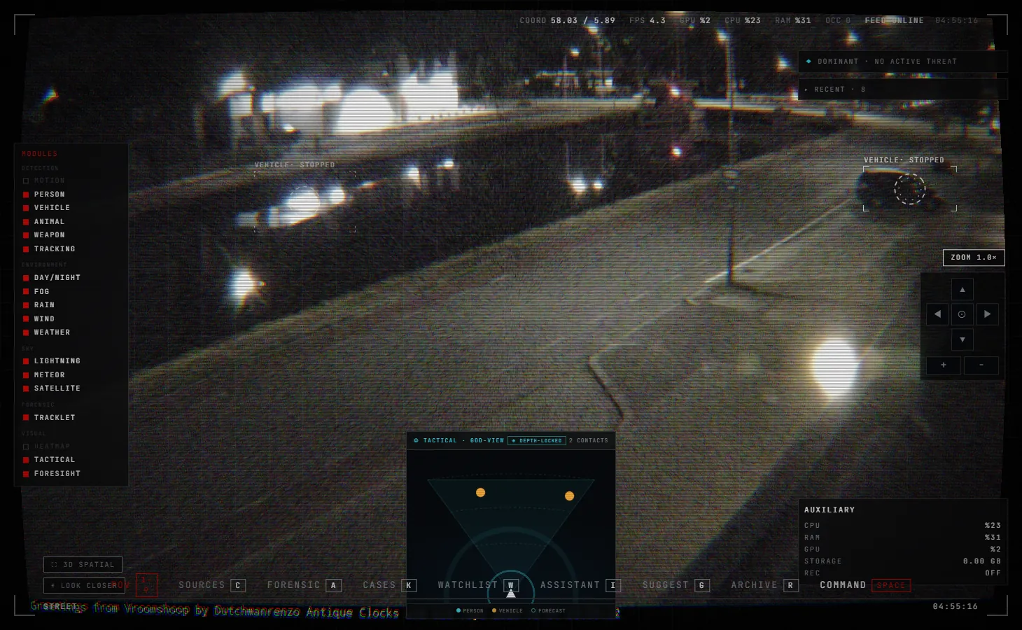
Perception
Detection & tracking
People, vehicles, animals and hazards, followed with stable identities through occlusion.
YOLO11ByteTrackClass gating
Depth & 3D
Lift a frame into 3D
Monocular depth reconstructs a navigable point cloud you can fly through.
Depth Anything V2Point cloudMesh
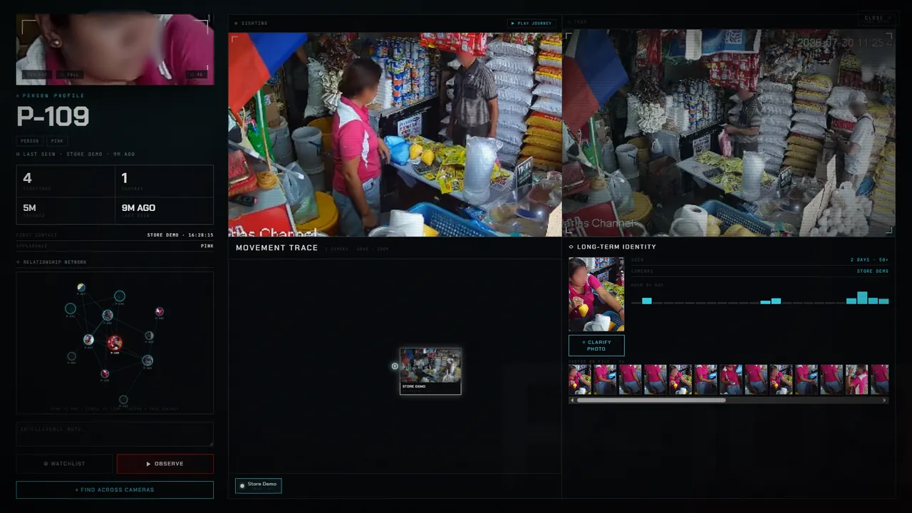
Identity
Know who, when & where
Cross-camera re-identification builds a long-term profile of every subject: sightings, movement and links.
Re-ID + gaitDossiersRelationship graph
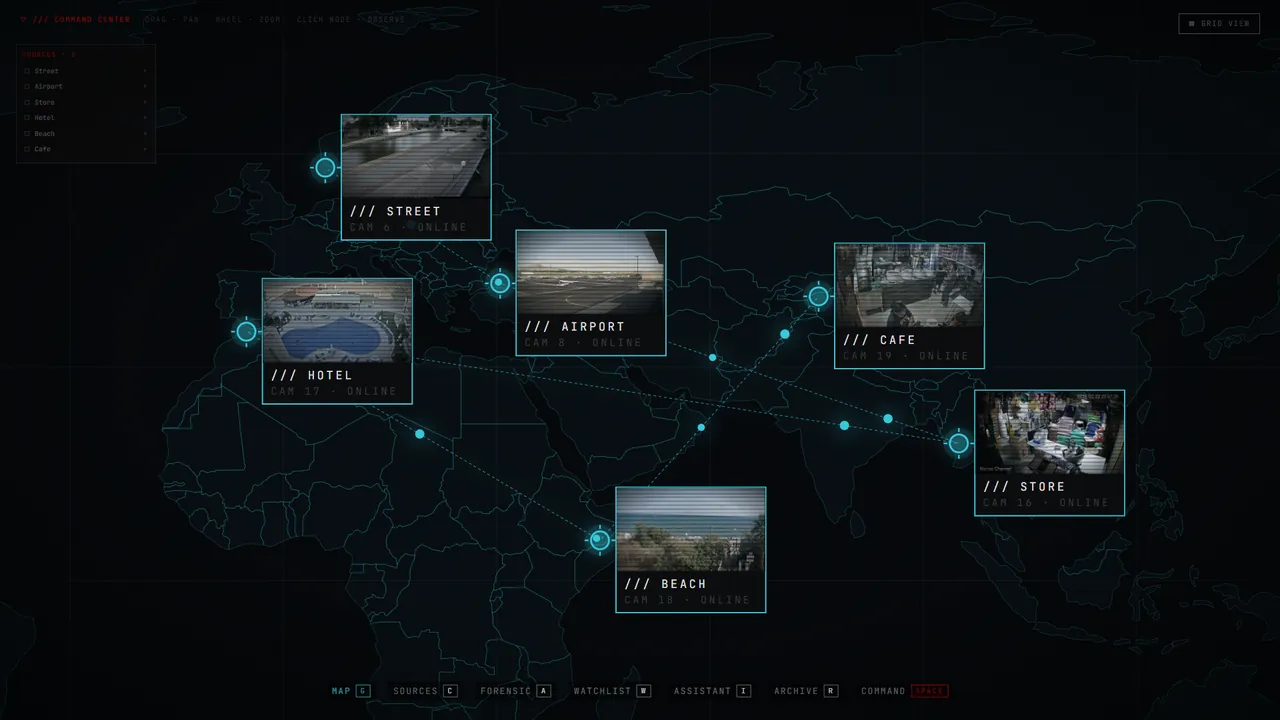
Multi-camera
One command center
Every source on a live map, correlated into one operational picture with zones, rules and alerts.
Live mapZonesThreat scoring
Open source